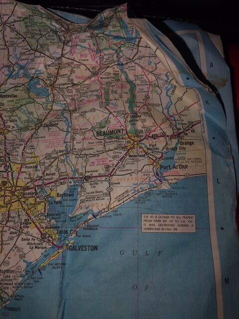
They are inching closer to Sabine Pass every day. Today, found the team facing 10-13 mph headwinds all the way along Galveston Island. It certainly made for slow going.
While in Galveston, they stopped and visited with Pam LeBlanc and Ginger Turner, a fellow paddler holed up in Galveston with family during the pandemic. They enjoyed the visit and it gave them time to allow the winds to calm down a bit.
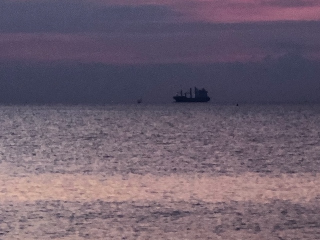
The decision was made to go through Galveston Harbor even though it had more boat traffic. The harbor was calm. The traffic was actually pretty light and they had an opportunity to get their spray skirts on before crossing the ship channel. In Galveston the original 1877 ship, Elissa, was docked and people were waving and snapping pictures. Photographers with the Galveston Daily News were there, as well. Near Sea Wolf Park, they stopped to observe ferry traffic and ships coming and going. They waited out a large gray ship coming into the harbor but another ship, red/orange plowed full steam ahead across the channel as the team took off to get in the ferry channel in order to get to Boliver Peninsula. The red/orange ship appeared to turn into the paddlers’ path so the team just turned and veered out of its way. Other than a few big rollers and riding out some wakes, the crossing was uneventful. They made great time crossing and the ferry captains gave them a wide berth.
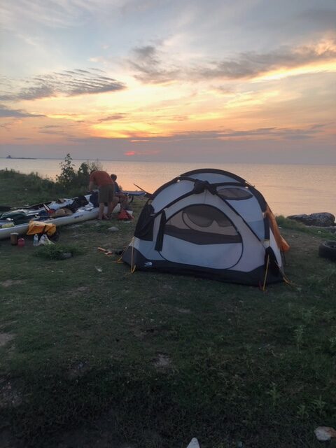
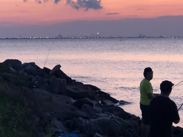
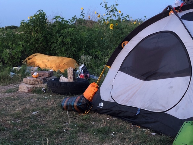
The team set up camp in a little protected area that’s a big fishing hole on the peninsula. Unfortunately, while it may be a great fishing spot, it’s also very trashy. I’m sure the team will leave it cleaner than they found it. One of the people fishing, Phet, came over with his two kids and offered the team apples, oranges and water. They were all super nice.
So, today they paddled 32.6 miles. It appears somewhere along the way my addition was skewed so…now, I believe we have 66 miles to go. Originally, they were going to end at the west jetty but I believe the decision has been changed to end at Walter Umphrey Park, which is the state line with Louisiana. As with any expedition, that might change but…stay tuned.